Inishowen 100: A Handy Guide to Donegal's Wild Coast
The Inishowen 100 is a 160-kilometre signposted loop around Ireland's northernmost peninsula, and I've driven most of it without ever meaning to. I had a college friend from Carn Donagh, so trips up through Derry became regular. Over the years I've dropped in on friends, chased trails, wandered through towns and followed curiosity down roads that felt like they were leading me off the edge of the map. That's the magic of this place - it rewards patience, not box-ticking.
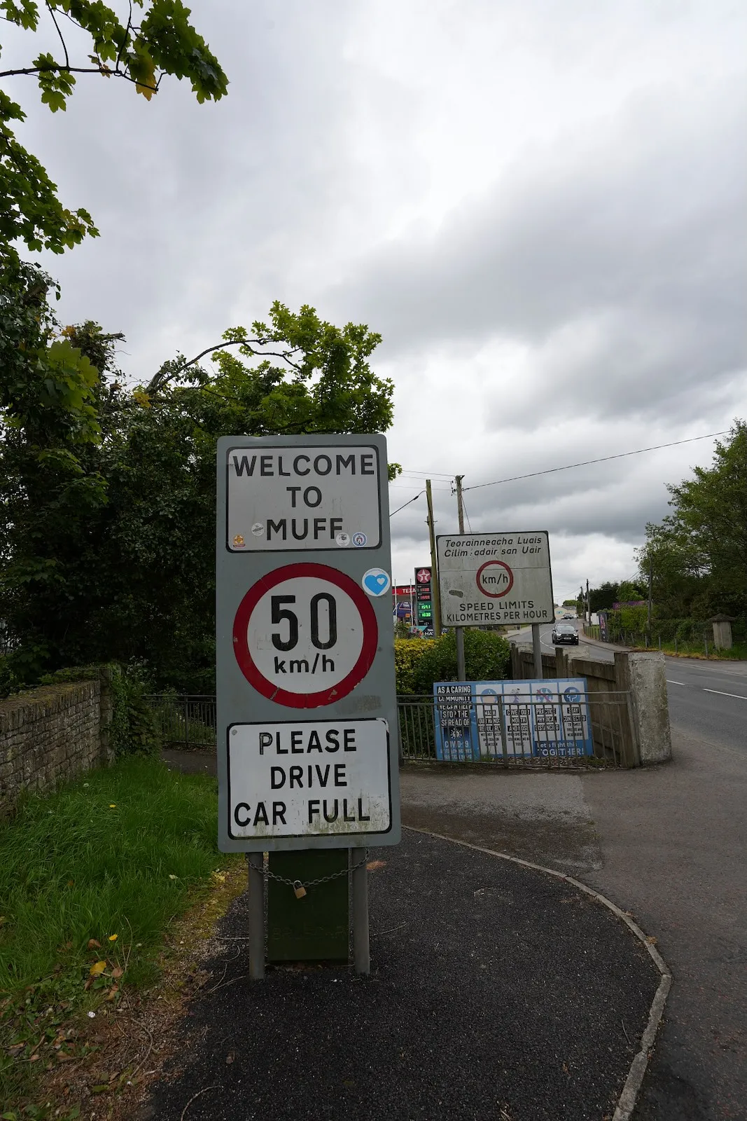
Most people treat it as a half-day dash from Buncrana to Malin Head and back. That's a mistake. The smaller roads coaches can't reach are where Inishowen shows its real character. Places like Malin and Muff aren't polished. They're just real Donegal towns with lived-in pubs and proper local feel. The Wild Atlantic Way follows much of the same coastline, but the Inishowen 100 uses narrower routes and quieter stops that you'll remember long after the big viewpoints fade.
I still remember the first time driving through Mamore Gap in a camper van. One of those places where you have to slow down anyway and just absorb it. The only thing left on my list is cycling it. Now in my early 50s, that might be the real challenge.
What to Expect
I've done this loop in bits and pieces over 30-odd years, so what follows is the rhythm I've settled into when I'm showing someone the peninsula properly. Clockwise from Bridgend makes sense because you're on the sea side for most of the big views, and the light works better in the afternoon when you're heading up the west coast.
Start and early stretch: Bridgend to Buncrana
Bridgend and Newtowncunningham are functional starting points rather than destinations. I usually stop at Inch Island if I'm early. It's a causeway crossing with Lough Swilly spread out to your left and a quiet, flat feel that eases you into the day. Fahan has a Blue Flag beach and a decent golf course if that's your thing, but I keep moving to Buncrana.
Buncrana is your first proper town with cafés, shops, and a seafront that gets busy on summer weekends. The beach is long and sandy, and the car park fills by midday in July and August. I'd suggest coffee here if you started early, or save it for the return leg. Tullyarvan Mill on the edge of town covers textile history if you're interested, but I've never felt the pull myself.
The slow-down section: Fort Dunree and Mamore Gap
Fort Dunree sits on a headland with a military museum and coastal battery remains. The views over Lough Swilly are wide and worth 20 minutes, but the real moment comes next. Mamore Gap is a narrow twisty road that climbs 244 metres between Mamore Hill and the Urris Hills. I drove it in a camper van years ago and had to take it at walking pace. That turned out to be exactly the right speed.
There's a Discovery Point at the top where you pull over and look north across Tullagh Bay and out to Tory Island on clear days. Five restored famine-era cottages sit at the base of the gap. They're not open to the public but they give you a sense of how exposed life was up here. The descent on the north side is steep and the road surface can be patchy, so take your time. This is one of the sections where signage gets vague, but if you're heading downhill towards the sea, you're going the right way.
North coast pay-off: Tullagh Bay to Malin Head
Tullagh Bay is a Blue Flag beach with dunes and space. I parked up at Binyon Bay nearby and walked the strand - hardly anyone around, even in summer. Ballyliffin is a golf resort town with a couple of hotels and lunch options. It's more polished than the rest of Inishowen, which isn't a criticism, just a different feel.
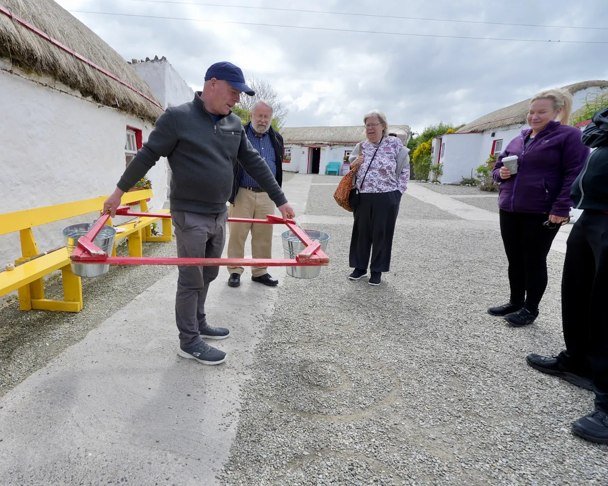
Doagh Famine Village is where I'd stop if you're only making one inland detour. It's a reconstructed village with cottages, a wake house, and a Mass rock. The guides tell the history with humour and heart rather than solemnity. I had great crack there. It's not morbid - it's human-scale storytelling that sticks with you.
Carndonagh is a working town with shops and cafés. Malin village is smaller and quieter, with a triangular green and a pub or two. From Malin you head north to Five Finger Strand and then up to Knockamany Bens for the viewpoint over Malin Head. On a clear day you can see Scotland. On a grey day you see a lot of wind and Atlantic chop, which is also worth experiencing.
Malin Head itself is Ireland's northernmost point. There's a tower, a few gift shops, and a car park that gets rammed in summer. I've been up there in a genuine gale and in flat calm, and both were memorable for different reasons. Don't expect solitude between June and August.
East coast return: Culdaff to Moville
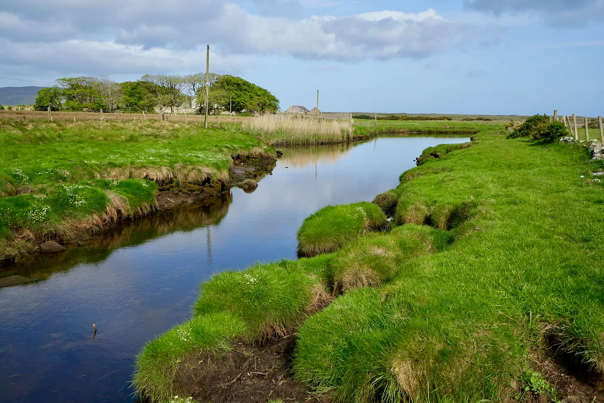
Culdaff is a small village with a Blue Flag bay and a more remote feel than the west coast towns. The beach is quiet and the surrounding farmland feels properly rural. Nearby Tramore Bay is even more isolated - worth the detour if you've got time.
Kinnagoe Bay is the coverage gap most guides skip, and I don't know why. It's a cove with sheer cliffs and a sense of sea isolation that feels different from the open beaches further north. The inland glen (Glenagivney) runs up from the bay. Locals call it the Queen of Inishowen Glens. I'd agree with that.
Greencastle has the Inishowen Maritime Museum and Planetarium if you're interested in shipping history and astronomy. I've not been inside, but the harbour is active and feels like a working port rather than a tourist stop. Moville is the last town of any size. It's a Victorian resort with a promenade and a few hotels. It's a good overnight base if you're splitting the loop over two days.
The honest negative: the roads are narrow and twisty in places, the signage is present but not always obvious, and parking at the popular beaches can be tight in summer. The wind on the north coast is relentless - bring layers even in July. And if you're in a hurry, this route will frustrate you. It's designed for lingering, not rushing.
How to Get There
The Inishowen 100 is a loop, so you can start anywhere, but most people begin at Bridgend, Newtowncunningham, or Buncrana. From Derry city it's 20 minutes to Bridgend via the A2 and R238. From Letterkenny it's 30 minutes to Newtowncunningham on the N13. If you're coming from Donegal town, it's 90 minutes to Bridgend via Ballybofey and Letterkenny.
Parking is free at most beaches and viewpoints. Tullagh Bay, Culdaff, Kinnagoe Bay, and the Discovery Points at Mamore Gap and Knockamany Bens all have small gravel or grass pull-ins. Buncrana seafront has marked spaces that fill by midday in summer. Doagh Famine Village has its own car park. The roads are narrow in sections, especially Mamore Gap and the north coast stretches. Take your time and pull in when larger vehicles approach.
Public transport is effectively none. There are local bus services between Derry and Buncrana, and between Carndonagh and a few smaller towns, but they don't cover the loop in any practical way. You need a car. If you're hiring one, pick up in Derry or Letterkenny for the best rates and selection.
If you need mobile data for navigation or booking things on the go, an eSIM from Airalo saves you roaming charges and works across Ireland. You download the app, buy a data plan, and it activates instantly without swapping physical SIM cards.
Where to Stay Nearby
Buncrana is the most practical base. It's got the most accommodation options, cafés, and shops. You're 20 minutes from the start of the loop at Bridgend. Ballyliffin works if you want a golf resort feel with hotel restaurants and a quieter atmosphere. Moville and Greencastle are good if you're splitting the drive over two days and want to stay on the east coast.
I'd suggest booking ahead in July and August. Inishowen doesn't have the same pressure as Galway or Killarney, but the good places fill up on summer weekends. Check hotels and prices in Buncrana ->
I stayed here a few years ago and it's a solid, comfortable base in Buncrana. The rooms are spacious, the restaurant is decent, and you're a 5-minute walk from the seafront. Nothing fancy, but it does the job well and the staff are helpful with route advice.
Check availability →What Else is Nearby
A Note on the History
Inishowen feels lived-in rather than packaged because it is. The towns along the route - Malin, Carndonagh, Moville, Muff - are working communities, not heritage villages. People live here year-round. The pubs and shops serve locals first and visitors second. That's part of the appeal.
The famine-era cottages at the base of Mamore Gap and the reconstructed village at Doagh are reminders of how harsh life was on this peninsula in the 1840s. The guides at Doagh tell the history with humour and honesty. They don't sanitise it, but they don't make it morbid either. It's human-scale storytelling that connects you to the place in a way that plaques and information boards don't.
The maritime and military history is visible at Greencastle and Fort Dunree. Greencastle has a fishing port and museum. Fort Dunree is a coastal defence battery from the Napoleonic Wars through to the 20th century. Inishowen was strategically important because of its position at the mouth of Lough Foyle and Lough Swilly. The British Navy used these waters for centuries, and the forts and signal towers are still standing.
What stays with me is the lack of polish. Inishowen hasn't been theme-parked. The roads are narrow because they were built for carts and horses. The towns are small because the land couldn't support large populations. The beaches are empty because they're remote and the water is cold. That's not a criticism - it's why the place feels real.